Skip to content
  • Home
  • About
    • Contact
    • Privacy Policy
    • Terms and Conditions
  • History
    • Origins of the Pennsylvania Dutch
    • Origins of Kutztown
    • Modern Kutztown History
  • Public Resources
    • Politics & Law
      • Kutztown Political Representatives
      • Kutztown Crime Visualizer
    • Public Transportation
      • Kutztown-Reading Trip Planner: BARTA Route 22
      • Kutztown/Trexlertown-Allentown-Easton Trip Planner: Blue Line
    • Public Finance
      • Kutztown Municipal Budget Visualizer
      • KASD Budget Visualizer
      • Kutztown Property Assessment Map
  • Wäga vum Sehne
Facebook-f Instagram

Author: Kirby Sibiski

1980s Kutztown History: University Growth & Town-Gown Tensions

artwork from the 1988 edition of Keystonia, Kutztown State College

Kutztown grows in the 1980s through its university and new cultural events. But expansion brings tension between students and residents.

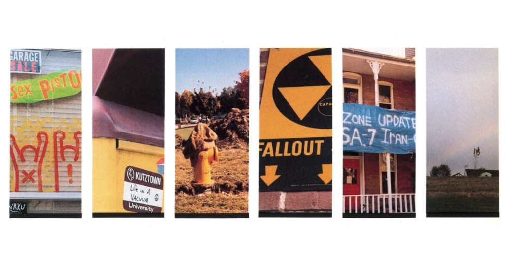
1970s Kutztown History: The Bypass to Bruce Springsteen

artwork from 1970 editions of The Keystonia, Kutztown State College

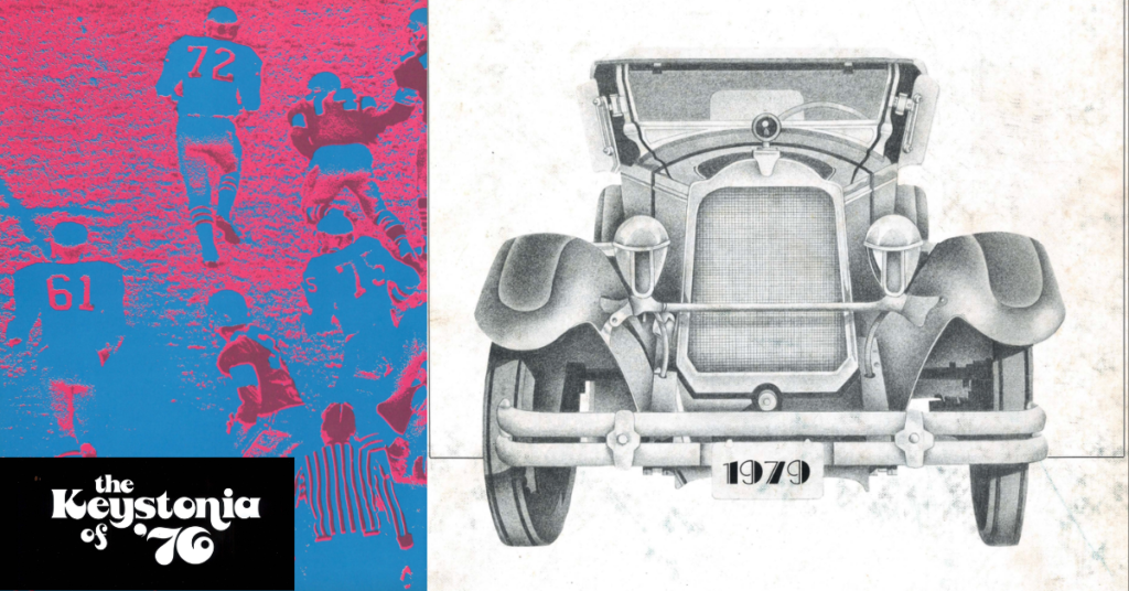
Kutztown expands in the 1970s with the bypass on US Route 222. Floods, music, and art reshape life in town.

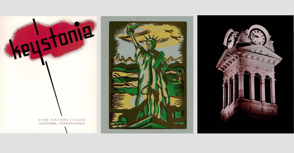
1960s Kutztown History: College Growth & Public Order

Artwork from 1960s Keystonia, Kutztown State College

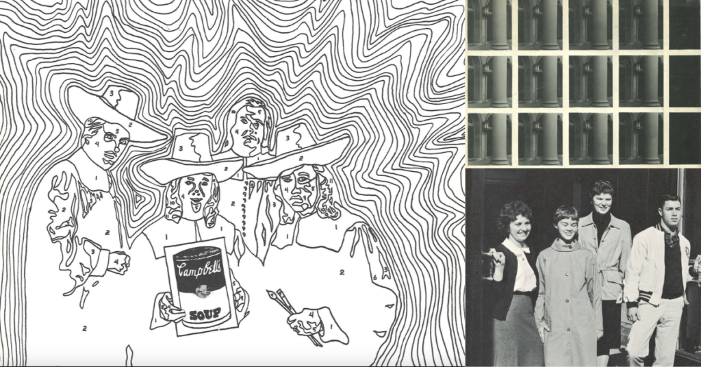
Kutztown expands in the 1960s through its college, police force, and public celebrations. Growth reshapes work, leisure, and daily life.

1940s & 1950s Kutztown History: The Aftermath of World War II

Cover of Keystonia 1950, the official yearbook of State Teacher College Kutztown, Pennsylvania (left); Statue of Liberty drawing (middle); Kutztown Clock Tower (right)

After WWII, Kutztown grows through industry, education, and folklife. Local traditions meet modern systems and national attention.

Modern Kutztown History: From World War II to Today

Kutztown Park Veterans War Memorial, circa 2026

Explore Kutztown’s modern history from World War II to today. See how national events and traditions reshape the town over time.

Kutztown in the Age of Industrialization (c. 1876 – 1945)

Early industrialized Kutztown landscape

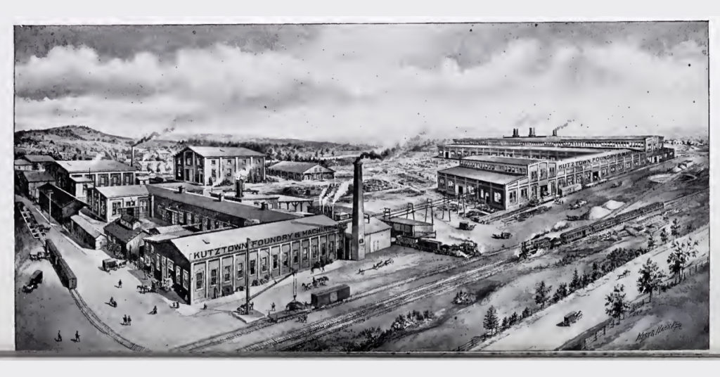
Kutztown shifts from farming to industry as jobs and infrastructure expand. Explore how the town modernizes from the late 1800s until WWII.

Kutztown in the 19th Century (c. 1800 – 1876)

Kutztown, PA, Main Street looking from Noble Street, circa 1915

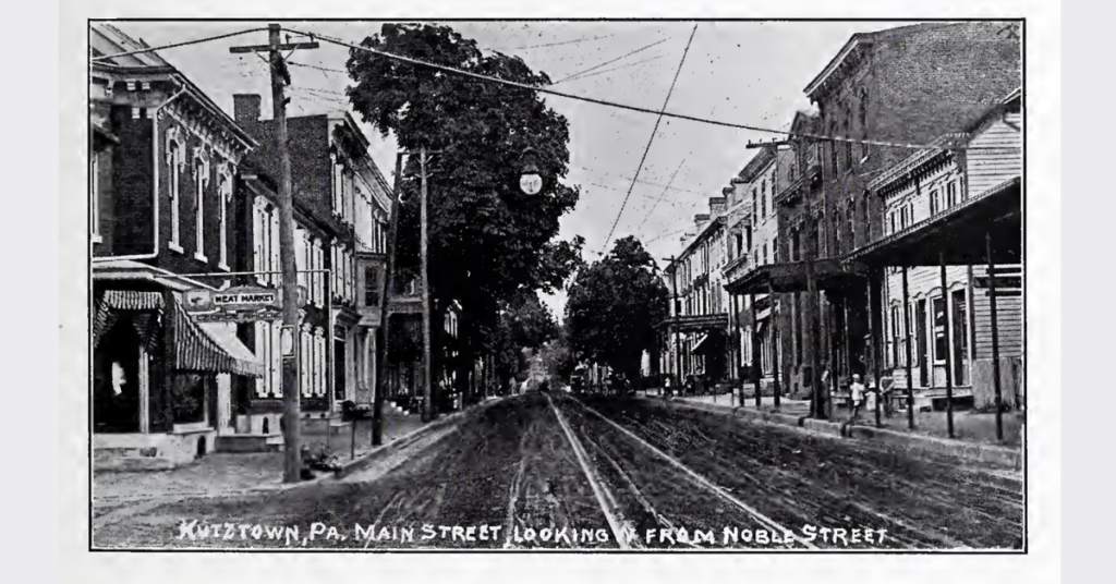
Kutztown transforms in the 1800s from a small market town into a connected hub. Explore how transportation and culture reshaped the town.

The Founding of Kutztown (c. 1740s – 1815)

Old homes in Kutztown from the 18th century

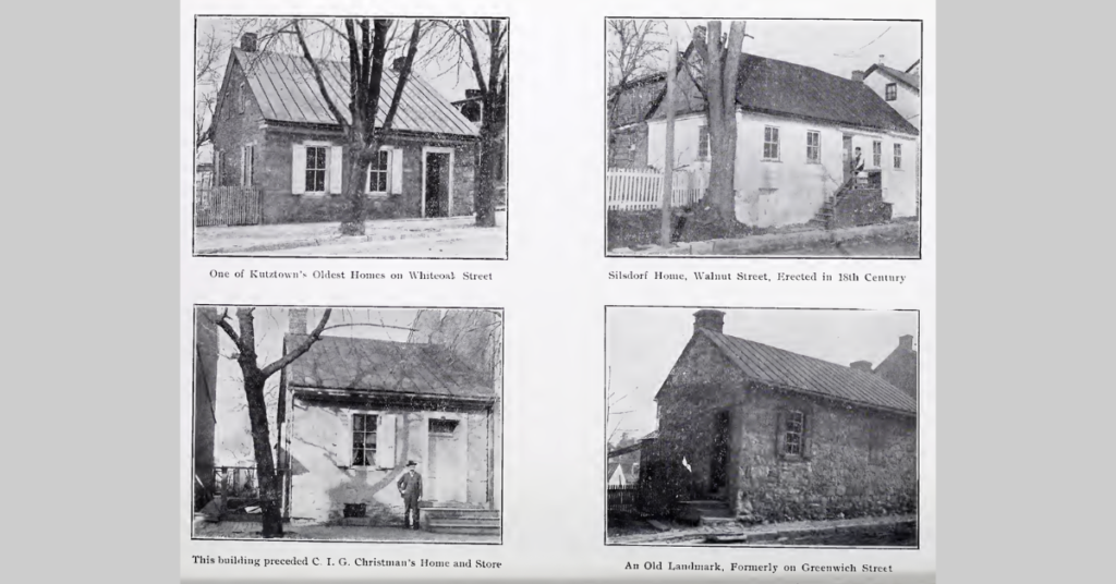
Kutztown begins as farmland and a crossroads before becoming a planned town. Learn how it grew into an incorporated borough by 1815.

Penn, Expansion, and Profit (c. early 1700s – 1750s)

The Peaceable Kingdom, circa 1834

After William Penn, land policy shifts toward expansion and profit. Learn how displacement and migration drive settlement toward Kutztown.

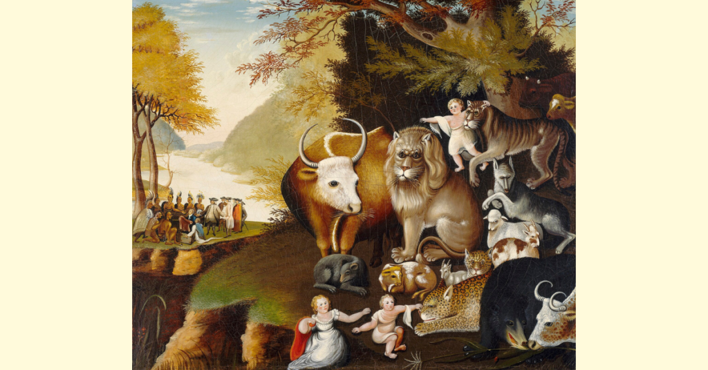
William Penn and the System of Settlement (c. 1681 – early 1700s)

The Treaty of Penn with the Indians. William Penn's 1682 treaty with the Lenape depicted in Penn's Treaty with the Indians, a 1771 portrait by Benjamin West

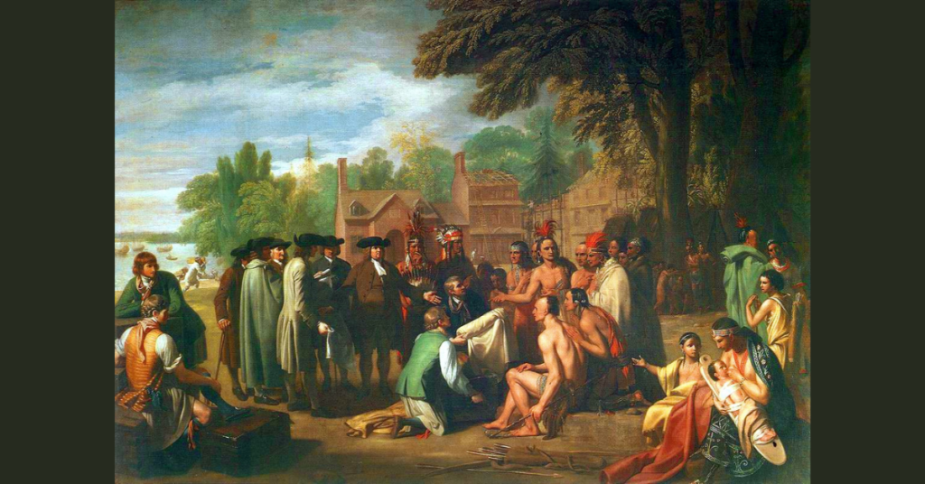
William Penn shaped Pennsylvania through land and treaties. Learn how he laid the foundation for settlement in regions like Kutztown.

← Previous
Next →

Join the Kutzeschteddel Newsletter