Skip to content
  • Home
  • About
    • Contact
    • Privacy Policy
    • Terms and Conditions
  • History
    • Origins of the Pennsylvania Dutch
    • Origins of Kutztown
    • Modern Kutztown History
  • Public Resources
    • Politics & Law
      • Kutztown Political Representatives
      • Kutztown Crime Visualizer
    • Public Transportation
      • Kutztown-Reading Trip Planner: BARTA Route 22
      • Kutztown/Trexlertown-Allentown-Easton Trip Planner: Blue Line
    • Public Finance
      • Kutztown Municipal Budget Visualizer
      • KASD Budget Visualizer
      • Kutztown Property Assessment Map
  • Wäga vum Sehne
Facebook-f Instagram

Day: March 23, 2026

Kutztown in the 19th Century (c. 1800 – 1876)

Kutztown, PA, Main Street looking from Noble Street, circa 1915

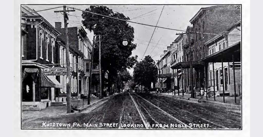
Kutztown transforms in the 1800s from a small market town into a connected hub. Explore how transportation and culture reshaped the town.

Join the Kutzeschteddel Newsletter